ATWIMA NWABIAGYA PROFILE
overview
The Atwima Nwabiagya Municipal is one of the 261 Metropolitan, Municipal, and District Assemblies (MMDAs) in Ghana. It is part of the 43 MMDAs in the Ashanti Region, with Nkawie as its administrative capital. Established in 1978 as the Atwima District, it has evolved significantly over the years and attained its municipal status in March 2018.
Administrative Evolution and Structure
In 2018, the district was divided into two, with the southern part upgraded to municipality status by Legislative Instrument (LI) 2298.

Vision
To create a Municipality of Excellence for Health with systems that ensure a healthy and productive population that reproduces itself safely.
Mission
To provide high-quality health services in all communities in the Atwima Nwabiagya Municipality through strong collaborative and adaptive leadership on a sustainable basis, supported by networks of practice approaches, and championed by motivated and competent health staff working with all stakeholders.
Health
The Municipal Health Management Team oversees health management. The Municipal is divided into five sub-municipalities with16 health facilities distributed throughout. These sub-municipalities are further divided into 21 Community-based Health Planning and Services (CHPS) zones, all of which are functional.
Objectives:
- Ensure sustainable, affordable, equitable, and easily accessible health services (Universal Health Coverage).
- Reduce morbidity and mortality; intensify prevention and control of non-communicable diseases.
- Enhance efficiency in governance and management.
- Intensify prevention and control of communicable diseases and ensure the reduction of new HIV/AIDS and other STIs, especially among vulnerable groups.
- This profile encapsulates the Atwima Nwabiagya Municipal’s commitment to health and development, aiming to create a sustainable and healthy environment for all its residents.
geography
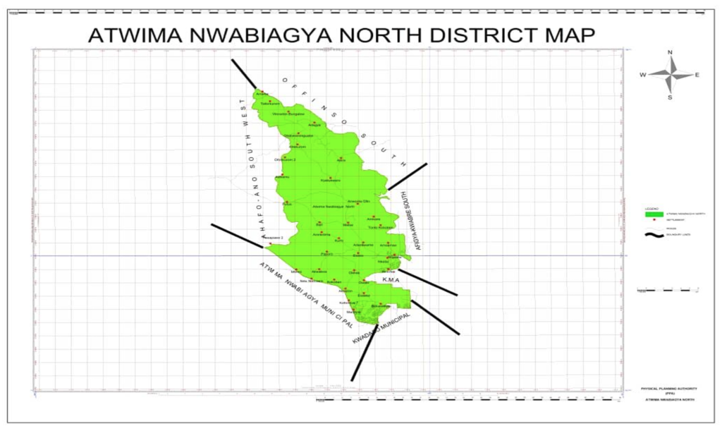
Atwima Nwabiagya Municipal is one of the largest districts in the Ashanti Region, covering an estimated area of 294.84 sq km. The Municipality is situated approximately on latitude 6° 75’N and between longitude 1° 45’ and 2° 00’ West. It shares boundaries with Atwima Nwabiagya North to the north, Amansie West Municipal to the south, Kwadaso Municipal to the east, and Atwima Mponua Municipal to the west.
communities
The Municipality comprises 125 communities and 217 enumeration areas, with Nkawie as its capital. It is characterized by a mix of urban (35.3%), peri-urban (35.1%), and rural (29.6%) areas, showcasing a transient municipality with diverse geographical and demographic characteristics.
population
The Municipality has an estimated population of 237,969 in 2024 extrapolated from the 2021 Population Census.
Settlement Patterns Settlements in the Municipality are dispersed, with some rural communities having populations below five hundred (500) people, while urban areas are highly dense with a very fluid population
Climate
Atwima Nwabiagya Municipal falls under the west semi-equatorial zone, marked by double maximum rainfall ranging between 170cm and 185cm per annum. The major rainfall season is from March to July, and the minor season is between August and mid-November. Temperatures are fairly uniform, ranging between 27°C (August) and 31°C (March). Relative humidity is generally high throughout the year.
road network
The road network to major towns and villages in the various sub-municipalities is comparatively good. Nkawie, the municipal capital, is easily accessible by road from almost all parts of the Ashanti Region. However, some parts of the communities in the Nkawie, Afari, Asakraka, and Abuakwa sub-municipalities are hard to reach, especially during the rainy season.
These communities include Fankamawie, Apuayem, Odumasi, Nyamebekyere, Zibukrom, Kofibuo, Ampemkrom & Sikayena in the Nkawie sub-municipal; Akwapim, Bankyiase, Ntabanu, Nkontomire, Sawuah, Nyamesem, Ahwiaa, Darkorom, and Nyamebekyere in the Asakraka sub-municipal; and Afigya in the Abuakwa sub-municipal.
Ethnicity and Religion
The largest ethnic group in the municipal is the Akans, followed by Akyem, Ewes, Mole Dagbon, Dagombas, Komkombas, and the Guans. Both patrilineal and matrilineal systems of kinship are practiced due to the presence of diverse ethnic groups. According to the 2021 Population and Housing Census (PHC), Christians (85%) are the majority in the Municipal, followed by Muslims (5%). Additionally, there are traditionalists (0.7%), other religions (0.7%), and those with no religious affiliation (8%).
Social Amenities
Most communities in the Municipal are connected to the national grid. Drinking water sources include mechanized boreholes, rivers, wells, and a few piped water systems in major towns.
Each school in the Municipal has a football field, serving as training and entertainment grounds for both the community and the school. The municipal capital has a large durbar ground used for health events, with smaller ones in almost all communities.
Communication
The Municipal has access to MTN, Telecel, and Airtel/Tigo mobile communication networks.


